Image
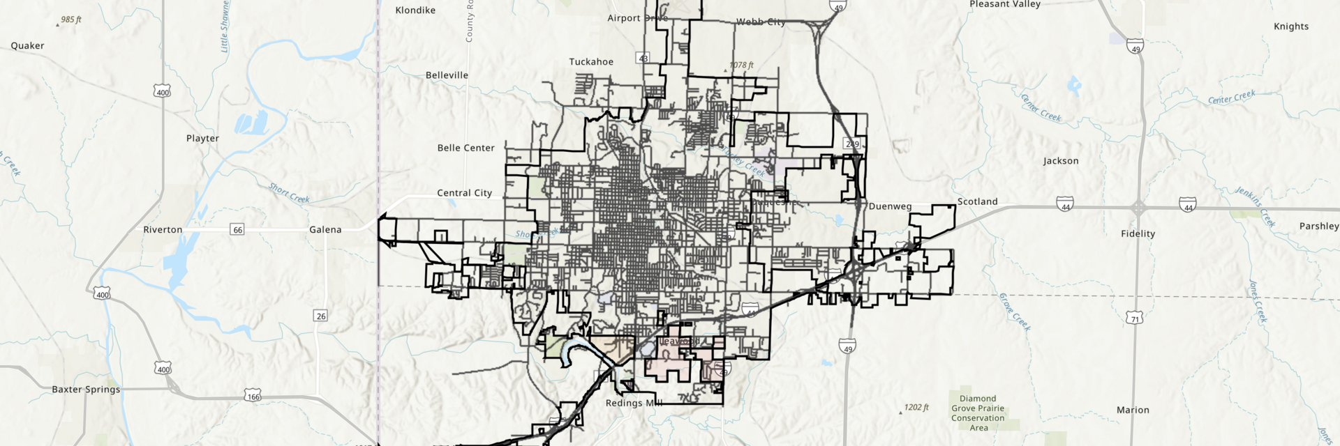

The City of Joplin uses ArcGIS by ESRI to map various layers of data which the public are able to view through our online GIS Web Map.
Joplin Geographic Information System (GIS) Web Map
The above-linked mapping system can be a bit complex to use for the average person, so we are also building a library of easier-to-use interactive maps which you can find below. Each of these maps presents more focused data regarding a particular topic, and the tools are a little more intuitive for the average person to navigate.
Still have questions about map data in Joplin? Reach out to our GIS team using the contact information at left.
These maps are designed to be easy to use and interact with. You can search for an address, zoom to view details you'd like to focus the map on, plus you can share a link right from the map, or export your custom view to print.
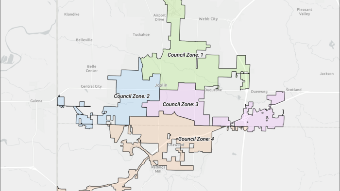
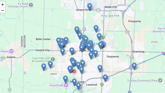
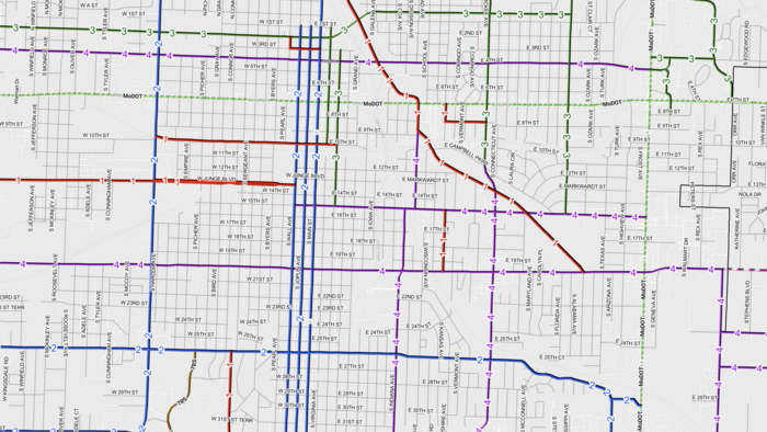
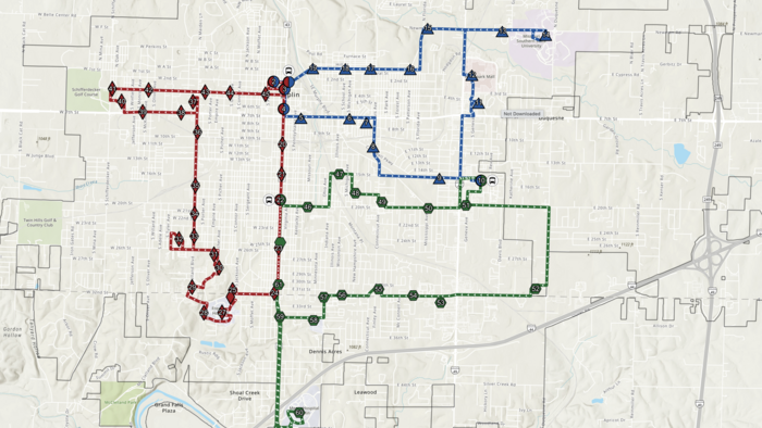
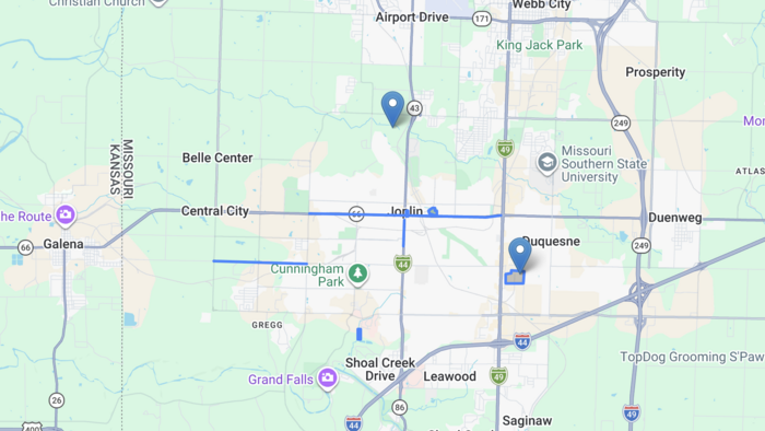
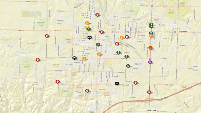
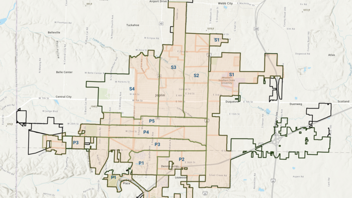
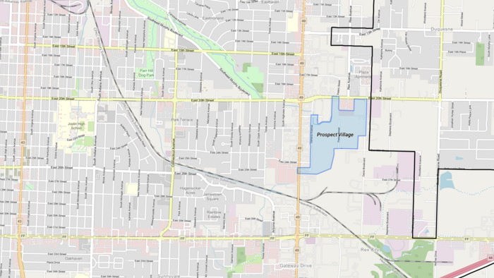

These maps may contain outdated information and are not as accessible as our interactive web maps. Since they are PDFs, you can easily print a copy. However, you are not able to modify or customize the view.
Below are links to other maps which are NOT maintained by the City of Joplin, but which contain relevant information which our citizens frequently request or search for. The City of Joplin is not responsible for keeping the following maps updated, please contact the relevant organization regarding questions and information about map updates.
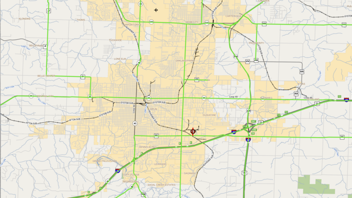
Interactive map managed by MoDOT to show current road conditions.
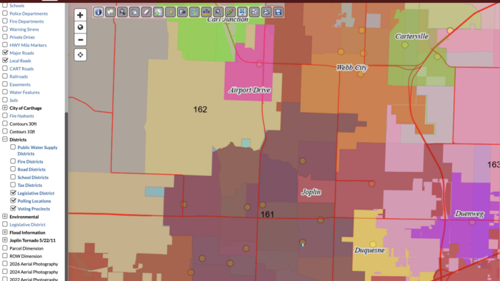
Jasper County uses the Beacon GIS mapping system to map property parcels and other map layers for the County.
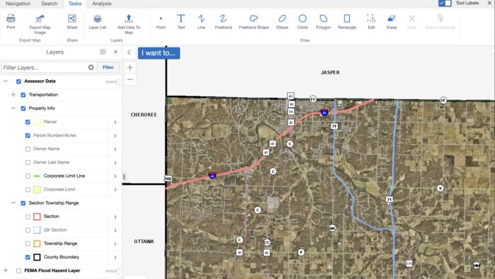
The Newton County Assessor uses IntegrityGIS to map property parcels.
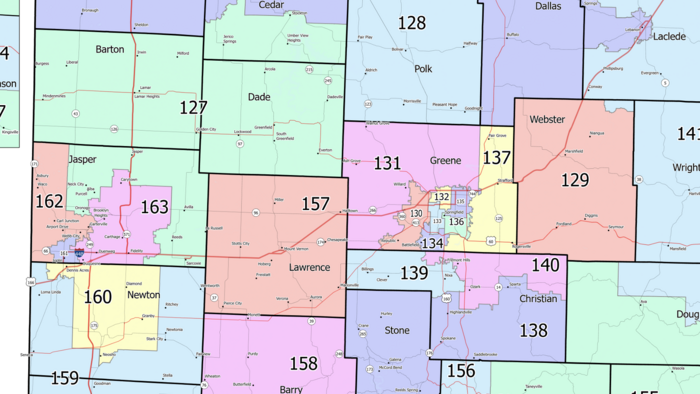
This PDF map of the State House of Representatives Districts is provided by the Missouri Secretary of State's website. This link leads to the 2026 map.
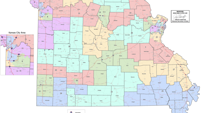
This PDF map of the State Senate Districts is provided by the Missouri Secretary of State's website. This link leads to the 2026 map.
Below are links to more maps which are NOT maintained by the City of Joplin, but which contain relevant information which our citizens frequently request or search for. The City of Joplin is not responsible for keeping the following maps updated, please contact the relevant organization regarding questions and information about map updates.